
Parcel 23-2N-23-0000-0012-0020
Owners
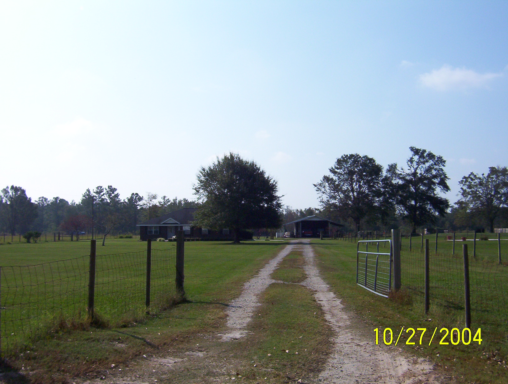
4277 WINDY LANE
HILLIARD, FL 32046
Parcel Summary
| Situs Address | 4277 WINDY LN |
|---|---|
| Use Code | 0100: SINGLE FAMILY |
| Tax District | 6: Drainage Dist |
| Acreage | 8.7300 |
| Section | 23 |
| Township | 2N |
| Range | 23 |
| Subdivision | |
| Exemptions | HX: Homestead (196.031(1)(a)) (100%) HB: Homestead Banded (196.031(1)(ab) (100%) |
Short Legal
PT OF NW1/4 OF SE1/4BEING PARCEL 1 IN OR 2467/103
EX 12-6
Values
| 2025 Preliminary Values | 2024 Certified Values | |
|---|---|---|
| Land Value * | $170,235 | $165,870 |
| (+) Improved Value | $298,734 | $289,589 |
| (=) Market Value | $468,969 | $455,459 |
| (-) Agricultural Classification | $0 | $0 |
| County Assessed Value | $392,491 | $381,430 |
| (=) School Taxable Value *** | $367,491 | $356,430 |
| (=) County Taxable Value | $341,769 | $331,430 |
Document/Transfer/Sales History
| Instrument / Official Record | Date | Q/U | V/I | Sale Price | Ownership |
|---|---|---|---|---|---|
| WD 2467/0103 | 2021-06-01 | Q | Improved | $450,000 | Grantor: HOLLIE DAISY ANNETTE Grantee: DERAWAY SCARLETTE CAMILLE |
| WD 2010/1525 | 2015-10-23 | Q | Improved | $247,500 | Grantor: BEESON LEA J Grantee: HOLLIE DAISY A |
| QC 1996/0633 | 2015-06-12 | U | Improved | $100 | Grantor: BEESON JAMES S & LEA J Grantee: BEESON LEA J |
| WD 1829/0662 | 2012-10-22 | U | Improved | $144,900 | Grantor: NATIONSTAR MORTGAGE LLC Grantee: BEESON JAMES S & LEA J |
| QC 1829/0660 | 2012-04-13 | U | Improved | $100 | Grantor: AURORA LOAN SERVICES LLC Grantee: NATIONSTAR MORTGAGE LLC |
| CT 1745/1109 | 2011-07-05 | U | Improved | $100 | Grantor: CLERK OF COURT Grantee: AURORA LOAN SERVICES LLC |
| SD 1591/0915 | 2008-10-30 | Q | Improved | $100 | Grantor: CLERK OF COURT Grantee: AURORA LOAN SERVICES |
| WD 1379/0575 | 2006-01-05 | U | Improved | $340,000 | Grantor: HEWETT DOUGLAS S & DAWN S Grantee: BROWN RICHARD A & BONNIE DAVIS |
| WD 0731/0638 | 1995-06-12 | Q | Improved | $85,000 | Grantor: SHEFFIELD RANDY & AMY Grantee: HEWETT DOUGLAS & DAWN |
| WD 0561/0220 | 1989-01-17 | Q | Vacant | $25,000 | Grantor: SPANN GARY H & E A Grantee: SHEFFIELD RANDY & A |
Buildings
Building # 2, Section # 1, 255396, RESIDENTIAL
| Heated Sq Ft | Year Built | Value |
|---|---|---|
| 2037 | 1999 | $264,070 |
Structural Elements
| Type | Description | Code | Details |
|---|---|---|---|
| EW | Exterior Wall | 20 | FACE BRICK |
| RS | Roof Structure | 03 | GABLE/HIP |
| RC | Roof Cover | 12 | MODULAR MT |
| IW | Interior Wall | 05 | DRYWALL |
| IF | Interior Flooring | 13 | LVT/LAMNT |
| IF | Interior Flooring | 11 | CLAY TILE |
| AC | Air Conditioning | 03 | CENTRAL |
| HT | Heating Type | 04 | AIR DUCTED |
| BDR | Bedrooms | 4.00 | |
| BTH | Bathrooms | 2.00 | |
| FR | Frame | 02 | WOOD FRAME |
| STR | Stories | 1. | 1. |
Extra Features
| Code | Description | Length | Width | Units | Unit Price | AYB | % Good Condition | Final Value |
|---|---|---|---|---|---|---|---|---|
| 0510 | GARAGE WD-MTL | 30 | 20 | 600.00 | $35.00 | 1990 | 20% | $4,200 |
| 0681 | POLE SHED MTL | 30 | 11 | 330.00 | $15.00 | 1995 | 20% | $990 |
| 0681 | POLE SHED MTL | 30 | 11 | 330.00 | $15.00 | 1995 | 20% | $990 |
| 0810 | CONCRETE A | 803.00 | $6.50 | 1999 | 75% | $3,915 | ||
| 0500 | FP-PRE FAB | 1.00 | $3,500.00 | 1999 | 81% | $2,835 | ||
| 0861 | POOL GUNITE | 264.00 | $85.00 | 2003 | 29% | $6,508 | ||
| 0845 | KOOL DECK | 361.00 | $7.25 | 2003 | 82% | $2,146 | ||
| 0910 | SCRN RM L | 35 | 24 | 840.00 | $15.00 | 2003 | 20% | $2,520 |
| 0751 | UOP | 10 | 20 | 200.00 | $10.00 | 2005 | 36% | $720 |
| 0351 | CARPORT MTL | 40 | 30 | 1200.00 | $10.00 | 2019 | 82% | $9,840 |
Land Lines
Personal Property
None
TRIM Notices
Property Record Cards
Disclaimer
The Nassau County Property Appraiser's Office makes every effort to produce the most accurate information possible. No warranties, expressed or implied, are provided for the data herein, its use or interpretation. The information contained herein is for ad valorem tax assessment purposes only. The Property Appraiser exercises strict auditing procedures to ensure validity of any transaction received and posted by this office but cannot be responsible for errors or omissions in the information received from external sources. Due to the elapsed time between transactions in the marketplace, and the time that those transactions are received from the public and/or other jurisdictions, some transactions will not be reflected.